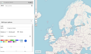
The Spatial Portal is a web interface that allows you to map Swedish biodiversity data and analyze it together with environmental, climate, economic and other data represented in map layers. The Spatial Portal comes with a suite of tools to manipulate, display, import and download spatially referenced data.
